Start at Cañada Blanca
In Teide National Park, use the signed entrance for the Parador and Cañada Blanca visitor centre off TF-21. Start on PNT 04 Siete Cañadas, the dirt track from the Parador side of the road. The car park by Roques de García is across TF-21. Identify the visitor centre and the trail sign before setting off so you start on the correct side of the caldera.
The official walking map measures the full hike from Cañada Blanca. The park’s PNT 15 sheet measures the high mountain trail from Degollada de Guajara to Degollada de Ucanca. That shorter figure leaves out the walk from the road, the climb to the first saddle and the return to the Parador.
Cañada Blanca is already about 2,150 m up. Give yourself time to settle into a walking pace on the track before the climb. If you come on a coastal bus, check the return from the Parador stop before leaving it. Five hours of walking can use up the gap between the bus up and the bus back.
| Item | Published information |
|---|---|
| Out and back via Guajara saddle1 | 13.8 km, ~5 h |
| Cañada Blanca elevation1 | 2,150 m |
| Summit elevation2✓ | 2,715 m |
| West descent3✓ | Via Degollada de Ucanca and PNT 31 |
| Reservation4✓ | Free access on PNT 04, 05, 15 and 31 |
The climb from the Parador
Find the Guajara saddle
Follow PNT 04 along the base of the caldera wall to the signed PNT 05 junction around Cañada del Montón de Trigo. PNT 05 heads uphill to Degollada de Guajara. The trail sign uses degollada for the saddle. The walk on the caldera floor can feel straightforward, so keep enough time in hand when you reach that first uphill junction.
The saddle is a useful place to decide if the summit still fits the day. If the wind feels too strong there or your group is already behind schedule, turn back on PNT 05. Save enough daylight for the walk from the bottom of the climb to the Parador.
Follow the summit turn
At the saddle, follow the signs for PNT 15 and Alto de Guajara. The last climb branches off where you see the Alto Guajara sign. Follow it to the top of the caldera wall, then double back to that junction. The west descent starts at the junction.
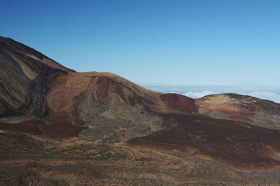
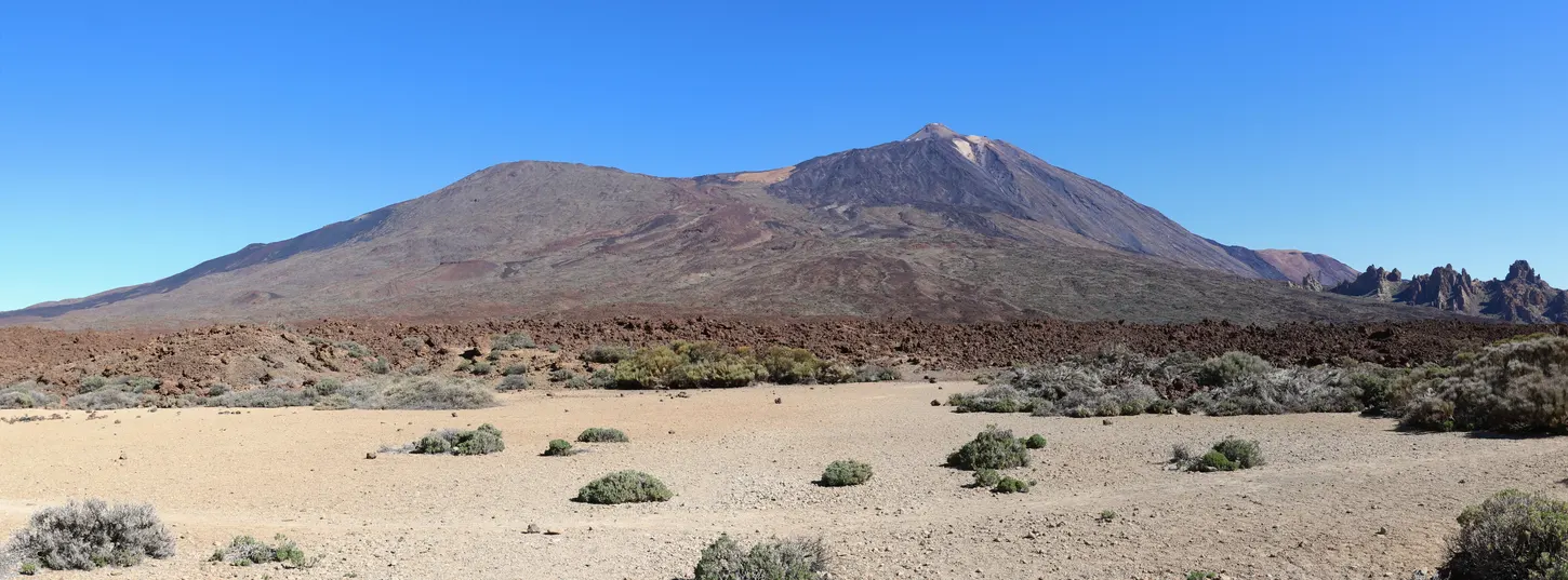
On a clear day the summit looks across the basin to Teide, with Pico Viejo to the west and Montaña Blanca below. The broad view puts the lava flows and flatter ground of Las Cañadas in the same frame. The summit also has the remains of the shelter Jean Mascart used while observing Halley’s comet in 1910.
Return by Ucanca
For the measured return hike, retrace the climb through Degollada de Guajara, PNT 05 and PNT 04. This is the simpler option if you want to descend ground you already know. The signed loop goes west from the junction below the summit. Follow the sign for the Parador via Degollada de Ucanca. At the Ucanca saddle, take PNT 31 towards the Parador and rejoin PNT 04 near El Capricho. The rest of PNT 31 continues away from the Parador, so use the destination on the sign as well as the route number.
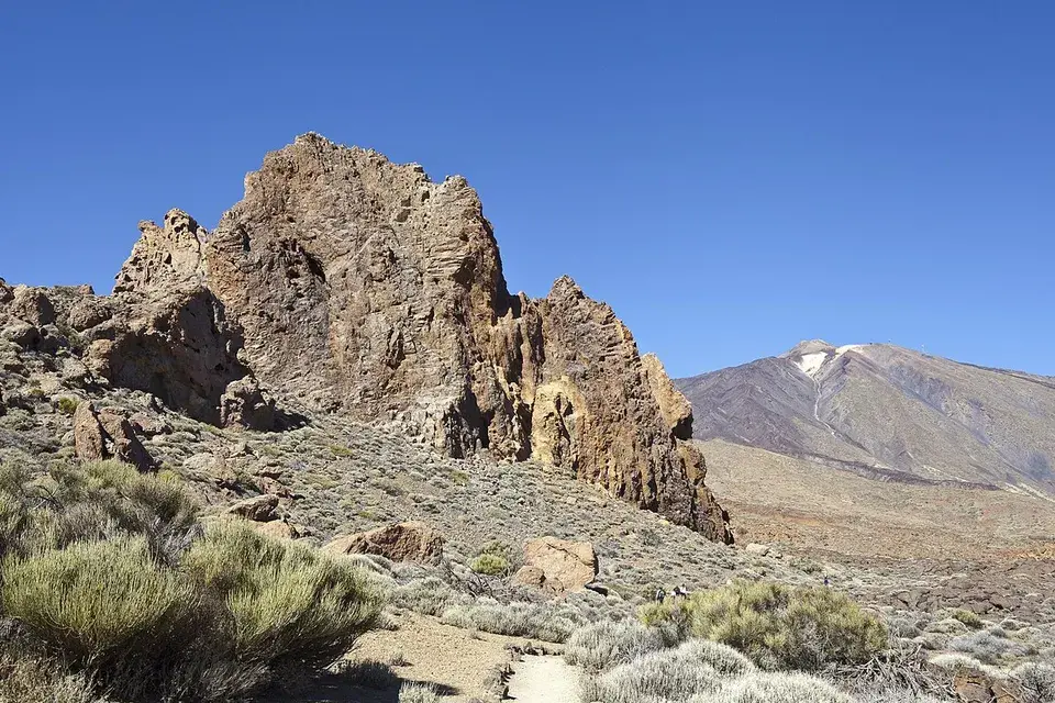
Tenerife Tourism describes rocky steps on the west descent and advises watching your footing. If the ground is icy, a loop that depends on that descent is a poor plan. Check both return paths before setting off and use the familiar route if the steep steps would be difficult for anyone in the group.
Access and conditions
Guajara has its own trailheads on the south side of the caldera. The park lists the approach and return trails as free access without advance booking. Temporary restrictions can still close them. The Mount Teide summit reservation applies to PNT 10 on the volcano across the basin. Use the park notices for each trail number in your Guajara plan, including PNT 31 if you want the loop.
Check the mountain weather and trail notices for wind, ice and snow. A dry road at the Parador tells you little about the high sections. Take layers, water and shoes with grip. If you have a pickup or bus to catch, work back from that time and choose a turnaround at a signed junction. For a shorter outing with a car, try Montaña Sámara. From the same Parador trailhead you can walk part of Siete Cañadas and turn back before the climb to the saddle.