Trailheads and direction
At Teide’s El Portillo visitor centre, look for the start across the main road. Cross with care and enter the dirt track signed PNT 04. At the Parador end, look for Cañada Blanca and the PNT 04 sign on the same side of TF-21 as the hotel. The visitor centre guide helps you identify which building to use at each end. If someone is collecting you, agree on the full name and side of the road.
The park describes the route from El Portillo to the Parador. You can reverse it to suit your ride home. The track has small rises and dips, with even its lowest point above 2,000 m according to the park. Take the time seriously even if you regularly walk that distance at sea level.
| Item | Published information |
|---|---|
| Trailheads1✓ | El Portillo and Cañada Blanca by the Parador |
| One-way distance1✓ | 16.6 km |
| Walking time2 | 4–5 h |
| Lowest point2 | Above 2,000 m |
| Difficulty1≠ | Park: low. Tenerife Tourism: intermediate. |
| Reservation1✓ | Free access without a reservation |
Plan the return first
If coming by bus
Start at El Portillo and finish near the Parador if line 348’s stops and timings work for a return to Puerto de la Cruz. For the southbound 342 back towards Costa Adeje, try the opposite direction and finish at El Portillo. In either direction, you’ll finish at the first of the two trailheads served on the way back towards your coast. Confirm the departure time and boarding point for your stop. Listings for El Portillo, the Parador and Roques de García can refer to different stops.
Allow the full walking estimate, plus time for stops and a wait before boarding. On the published 342 return, the bus leaves El Portillo before the Parador. Use the time for your finish. If the two buses from and back to the coast leave too little walking time, shorten the route. The Teide bus guide explains the coastal routes and the in-park 341. Use the 341 only if its departure fits your walk.
If coming by car
With two cars, leave one in a designated space at the finish before driving to the start. With a single car, confirm a pickup or shuttle before committing to the full crossing. If you cannot arrange one, use the track for an out-and-back. Start at the end that best fits the drive and set a turnaround time that leaves you the same amount of walking time to get back. For a signed circuit with a single car, the Sámara loop returns to its own trailhead on the west road.
Walking under the rim
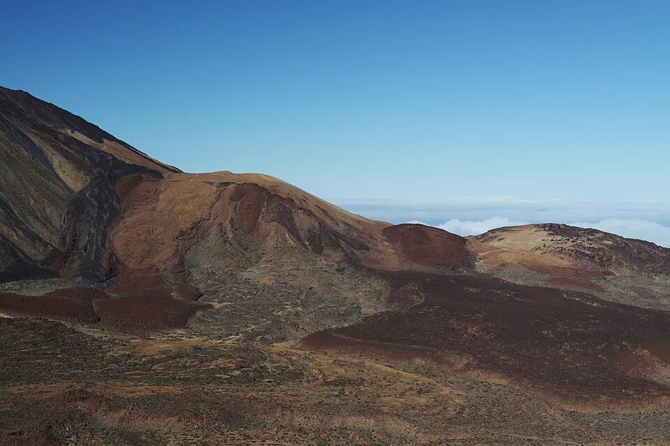
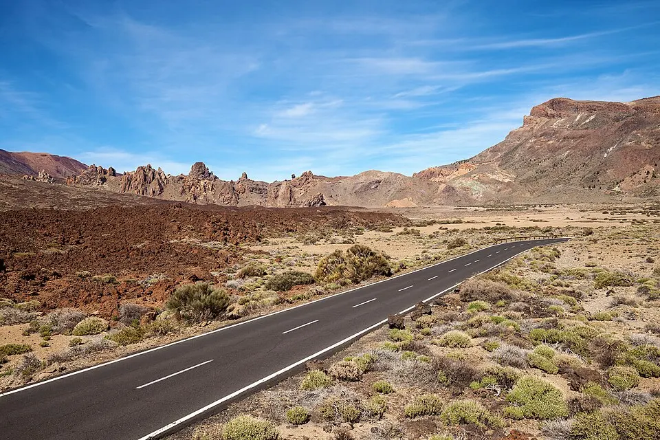
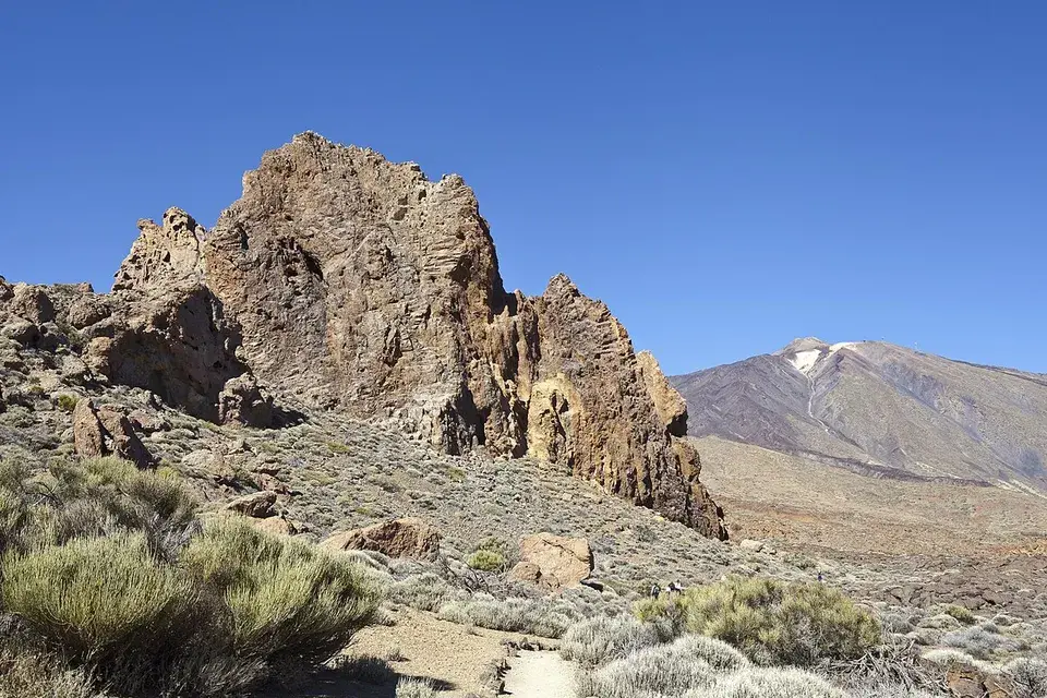
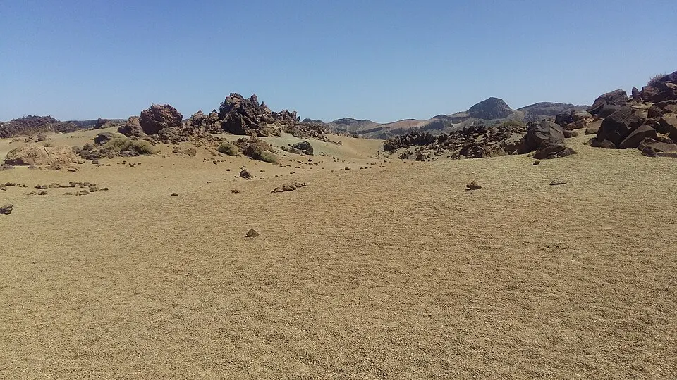
The route follows part of the Camino Real de Chasna, which once linked settlements in the north and south. As you walk towards the Parador, the track runs under the caldera wall. Cañada de Diego Hernández is the first of the seven named basins the park identifies along this walk. Cañada del Montón de Trigo is farther along, and El Capricho is near the Parador end. The dirt track connects these open areas, with the shapes of the wall and the little rises between basins changing as you go. Look for dark basalt near Diego Hernández and the remains of shepherds’ shelters beside the trail.
Near Montón de Trigo, use the route numbers at the trail junction. PNT 05 climbs towards the saddle on the Alto de Guajara route. Stay on PNT 04 to finish Siete Cañadas. The climb to the summit changes the outing and adds time that a timed pickup at Cañada Blanca may not allow.
Exposure and closures
The park rates the walking difficulty low and Tenerife Tourism rates it intermediate. The sustained distance, altitude and lack of shade matter even on the gentler stretches. Bring water from the road and pack sun protection and a wind layer. If a group member is already struggling on the early stretch, it is easier to go back to your original trailhead while it is still close.
Read the trail and road notices before departing. The park can restrict access to a sector temporarily while the nearby visitor centres keep their normal hours. Check PNT 04 separately before starting the walk.