Find the trailhead
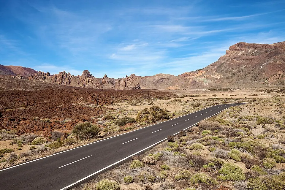
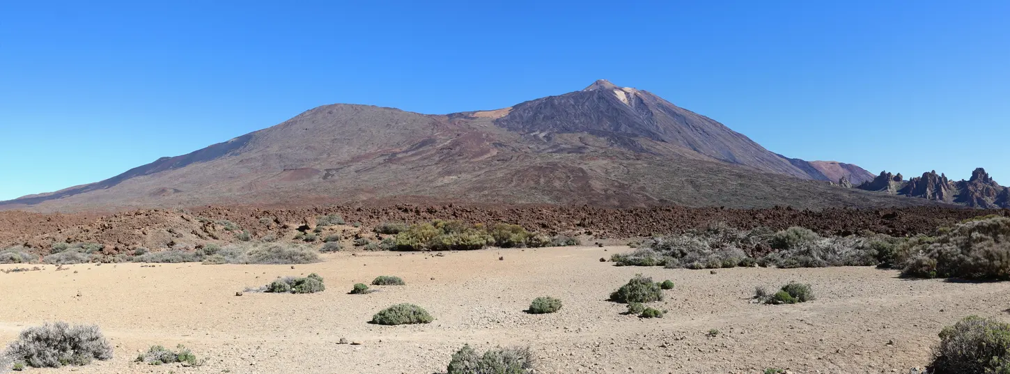
Look for Mirador de Sámara at kilometre 7.5 on TF-38. From Chío, go up the west road towards Boca Tauce. From the caldera or Vilaflor, turn onto TF-38 at Boca Tauce and head towards Chío. The west approach to Teide shows where those roads meet. Mirador de las Narices del Teide is a separate stop on the same road. Use the name Sámara when sharing the pickup point.
Start on the marked trail from the Sámara pull-off. If the spaces are full, continue to a designated stop with room to park. A walk along the edge of TF-38 is a poor substitute for parking at the trailhead. The main park buses run along the central caldera, so arrange a car or a lift to Sámara.
| Item | Published information |
|---|---|
| Starting point1 | Mirador de Sámara, TF-38 kilometre 7.5 |
| PNT 13 circuit2✓ | ~4.6 km, 2 h 45 min |
| Circuit ascent3 | 256 m accumulated |
| PNT 13.1 summit spur4 | 25 min out and back |
| Reservation5✓ | Free access on both trails |
Choose your walk
- Roadside view. Stay at the mirador if time or loose footing rules out a climb.
- Summit spur. Follow PNT 13.1 near the start, then retrace it. This is the short way to see Teide and Pico Viejo from the cone.
- Full circuit. Follow PNT 13 through the pines and open volcanic ground. Decide at the first junction if you have time for the spur as well.
On the Sámara loop
Follow PNT 13 past the turn for the cone and into the western volcanic ground. The park lists 256 m of accumulated ascent for the circuit. The ascent is modest for a Teide hike and spread across the circuit. Fine volcanic gravel shifts underfoot and can slow you down, especially where the path dips. Wear shoes with grip and leave room between walkers on the steeper patches.
Watch the route numbers at junctions. PNT 32 leads into Abeque and PNT 38 into Cuevas Negras. Both connect to Sámara, so a route line on a map that follows either branch can give a different distance from the park’s PNT 13 circuit. For the loop back to the mirador, follow the signs for PNT 13 and download the park route before you drive up.
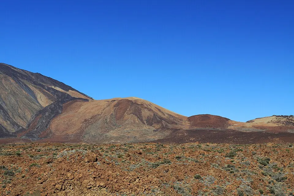
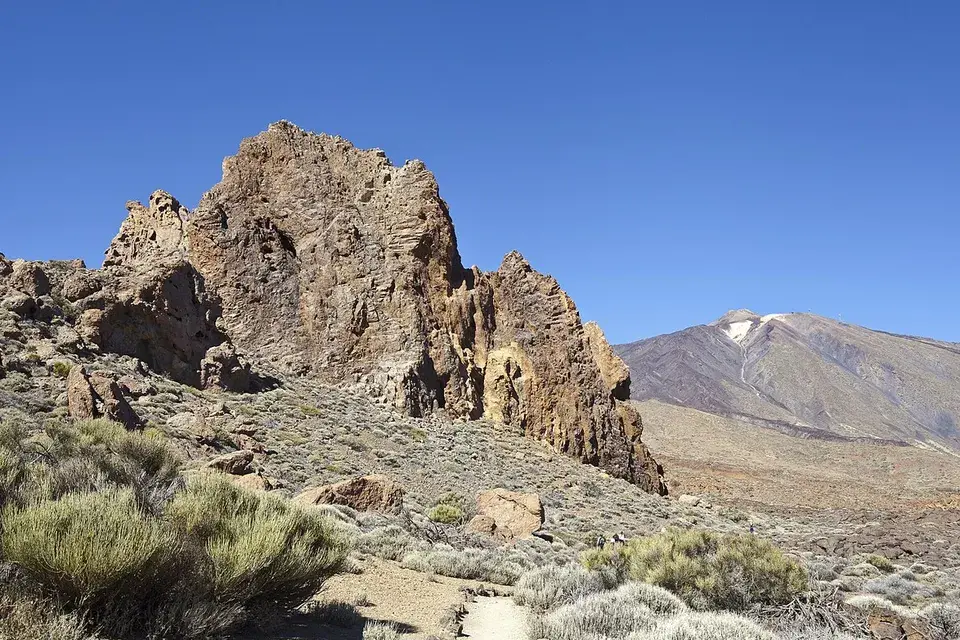
Canary pines grow in patches on the dark gravel. Farther out, gaps between the pines give you a view of the other cones. Stick to the marked path where the gravel looks uniform. On the spur, look up towards Pico Viejo and Teide. The cone is low enough to see how the western slopes fit together when the cloud is clear. From the roadside viewpoint you can also pick out the nearby cones of La Botija and Montaña Reventada, with Pico Viejo behind them.
How much time to allow
Use the park’s walking time when arranging a pickup. If you plan to visit the top of Sámara and walk the full loop, give yourselves time for the spur, the climb on the loop and stops to look around. If your group walks at different speeds, decide at the summit spur junction who will do the shorter walk. Have your driver meet the group at the signed pull-off.
If you are choosing between road-level outings, Sámara fits a west-side drive with time for a walk. The Siete Cañadas trail takes much longer and finishes at a different road stop. Alto de Guajara is the choice for a sustained summit climb with views across the whole caldera.
Wind and trail access
When the gravel is loose or the wind picks up, reconsider the climb to the cone before leaving the main route. At this altitude it can be much cooler than on the coast. Pack water, sun protection and a layer to put on during stops. The pines break up the open ground, with exposed stretches in between.
Both routes are normally open to walkers without a reservation. Read the park trail and road updates before turning onto TF-38. A closure can affect the approach road, the route or both. If the signed trail is closed, choose an open roadside viewpoint and leave the loop for another day.